


Navigable Waterways Colour in Map - A3
£16.50
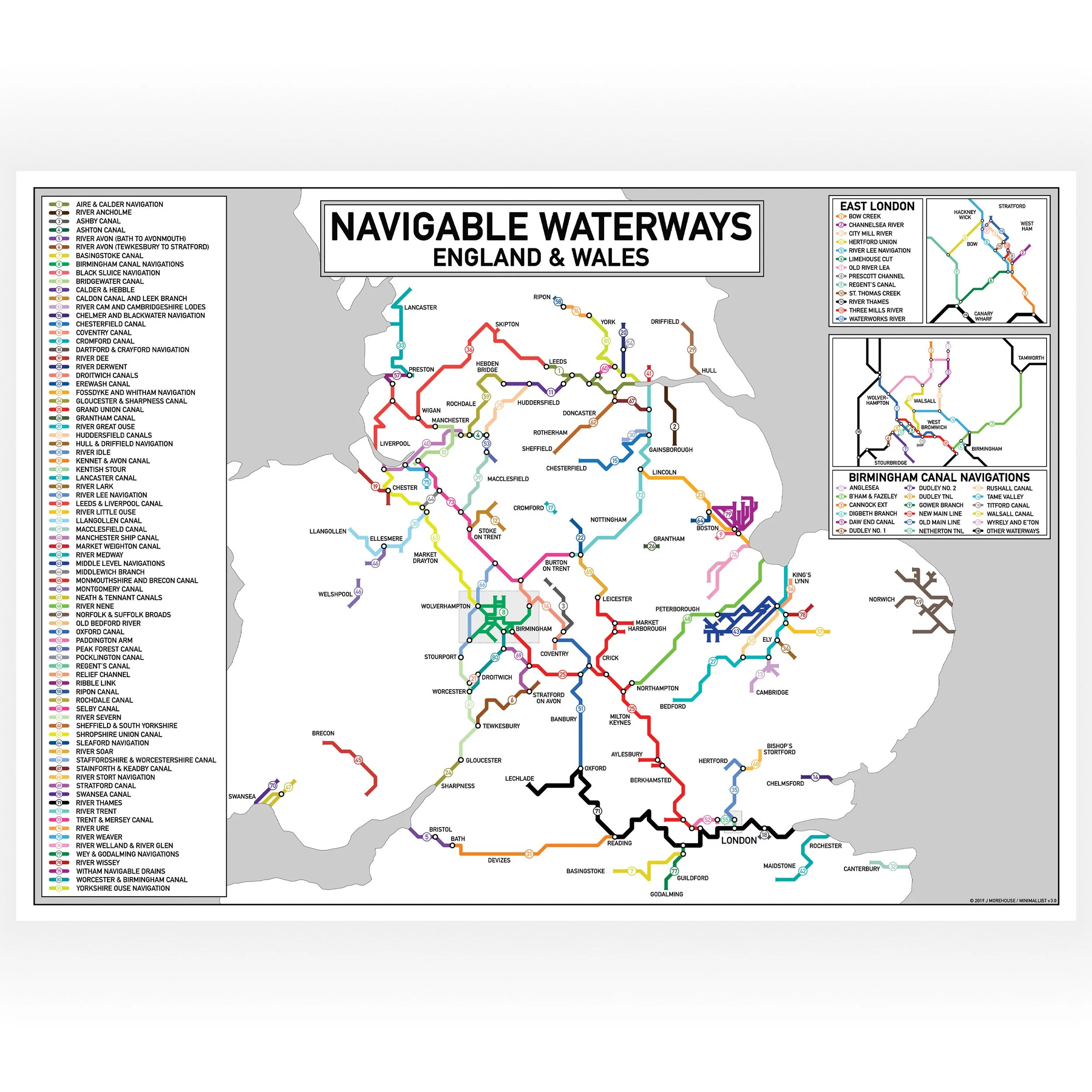
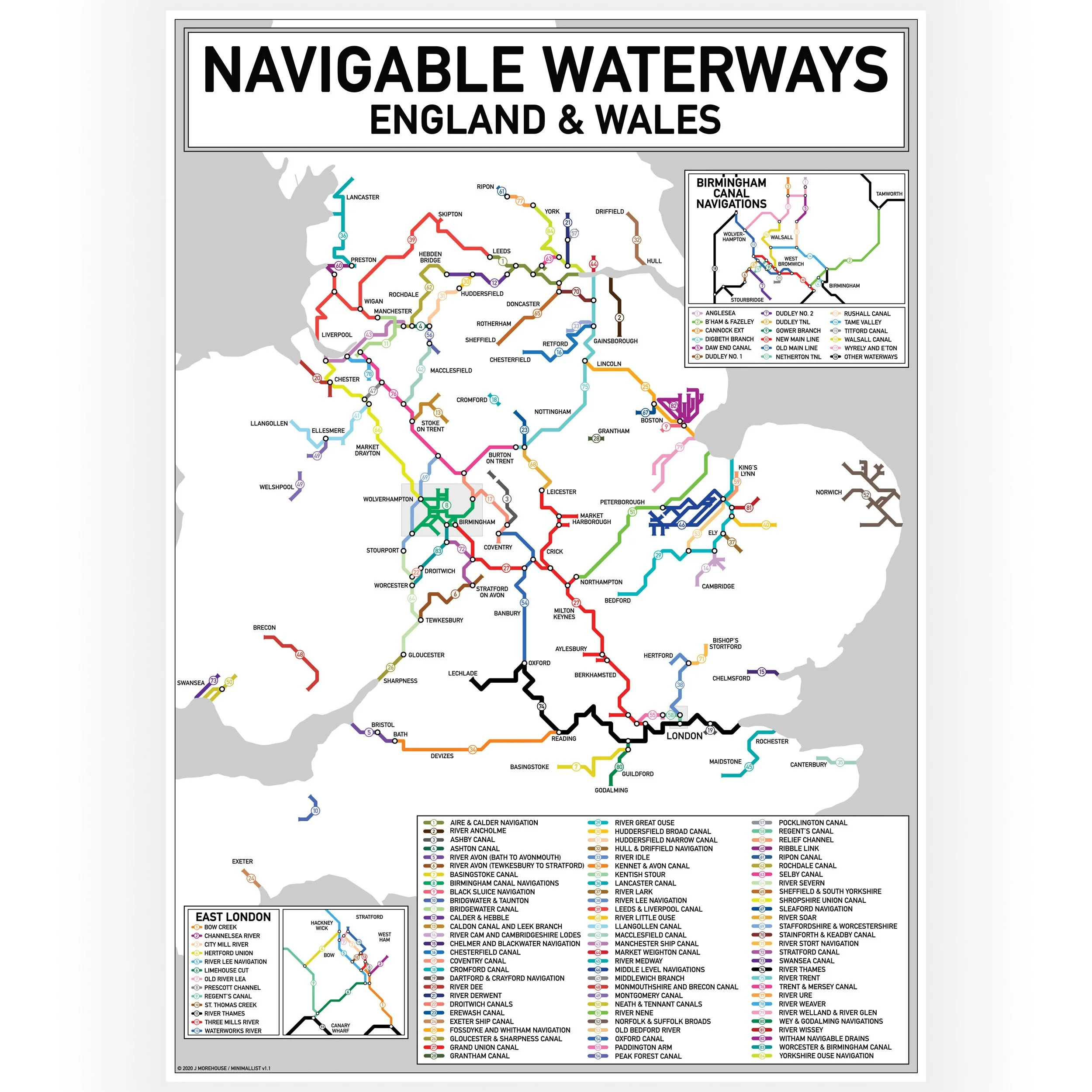
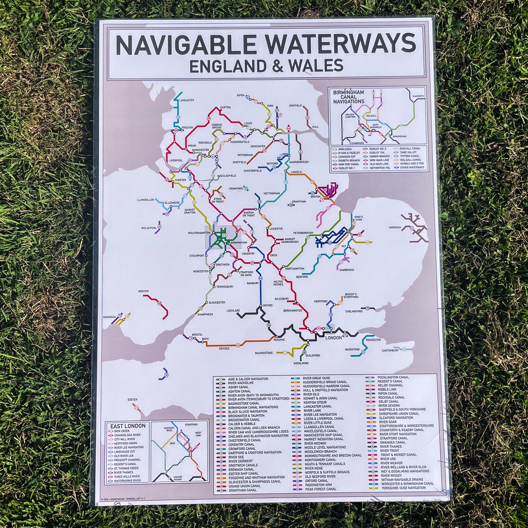
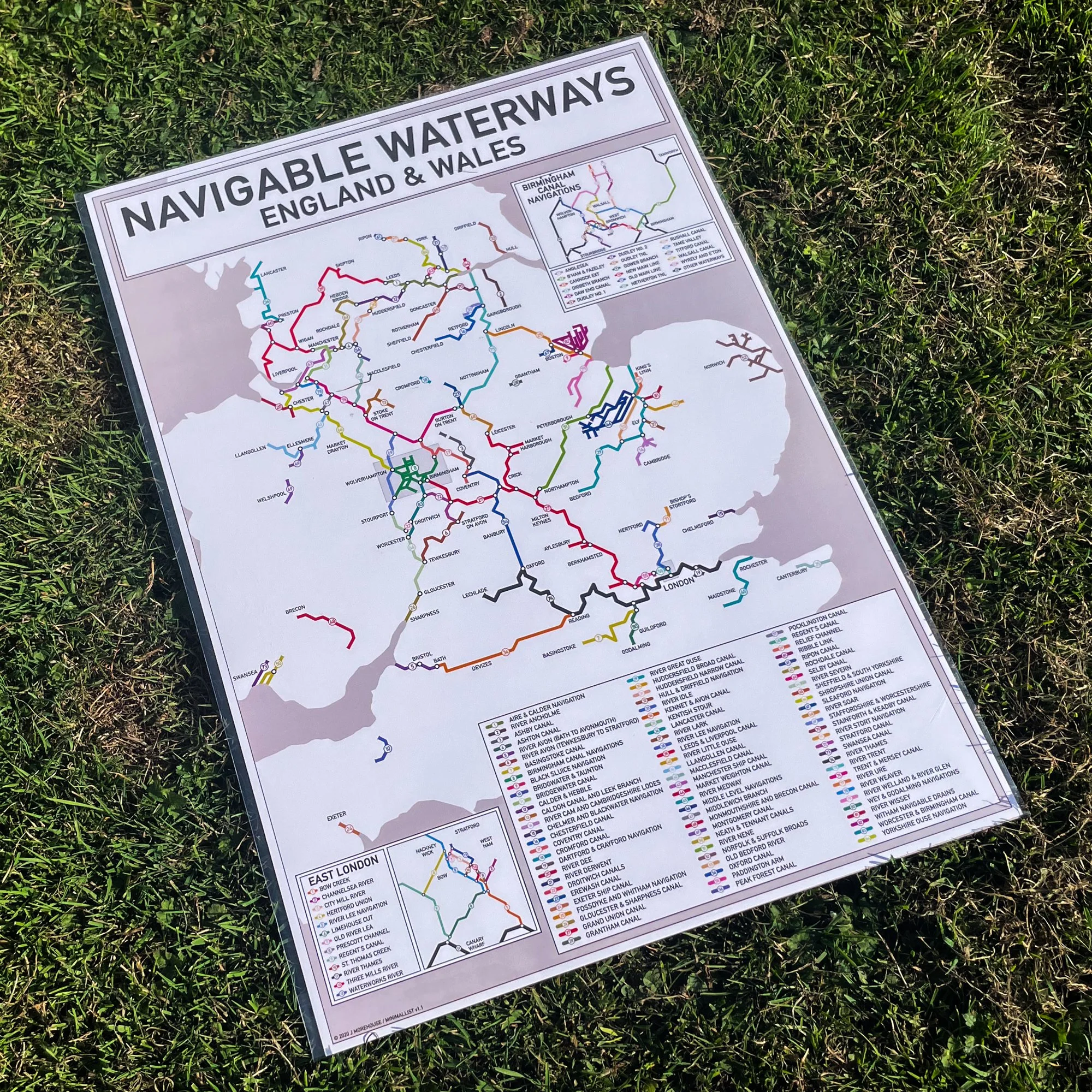
This print is a Tube-style illustration of the Navigable Waterways of England, modified to allow colouring in of the waterways as you travel. The print shows the location and names of rivers and canals as well as major cities, towns and villages along each route. Not all disconnected waterways, or those which could not fit in the chosen map extents are included, nor are waterways that have been lost to development, are disused, or are currently awaiting restoration.
The map does show the approximate layout of the waterways, but it is not to scale and the print is not intended to be used as a navigation tool.Print size - A3 - 297 x 420 mm
These maps are printed on Uncoated Bond paper to allow you to colour in your route
- Size: A3
Quantity: